Loading...
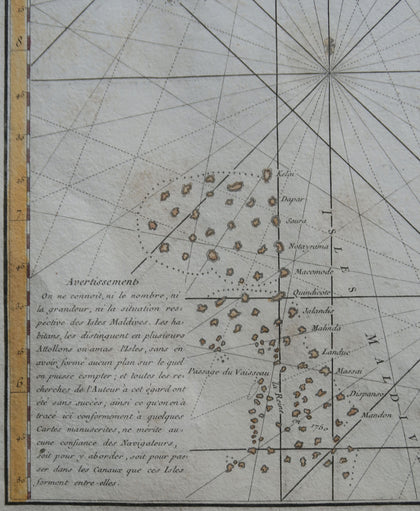
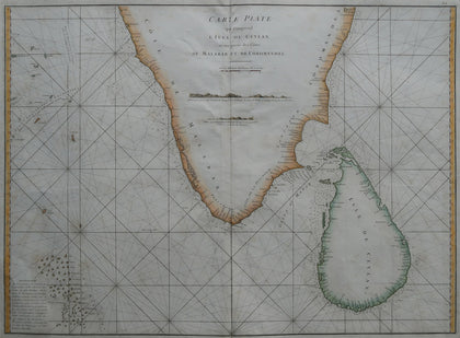
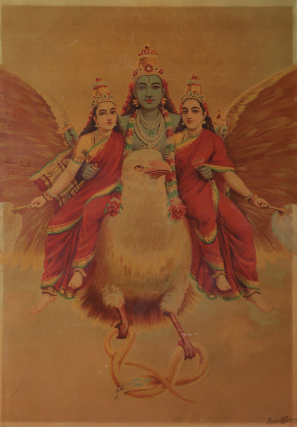
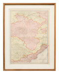
Sea Chart of Ceylon, Malabar and Coromandel Coasts
All orders are insured for transit.
This item cannot be shipped outside India.




















Please enter the email address linked to your Artisera account, and we will send you a link to reset your password.
Sign Up to access your Wish List and hear from us on all that’s new!
Loading...
All orders are insured for transit.
This item cannot be shipped outside India.
All orders are insured for transit.
This item cannot be shipped outside India.
| Size: | 20 x 27 inches |
| Material: | Paper (Copper Engraved) |
| Size: | 20 x 27 inches |
| Material: | Paper (Copper Engraved) |
All orders are insured for transit.
This item cannot be shipped outside India.
This item has been added to your shopping cart.
You can continue browsing
or proceed to checkout and pay for your purchase.
This item has been added to your
shopping cart.
You can continue browsing
or proceed to checkout and pay for
your purchase.
This item has been added to your wish list.
You can continue browsing or visit your Wish List page.
Are you sure you want to delete this item from your Wish List?
Are you sure you want to delete this
item from your Wish List?

Artisera is a destination for artistic luxury where you can discover and buy the most exquisite pieces of fine art and collectibles. With an unwavering focus on quality and curation, we bring to you a handpicked selection of paintings, drawings, limited edition prints and serigraphs, sculptures, digital art, pichwais, traditional art, tribal art, old collectibles, curios, artefacts and more. Each piece at Artisera is sourced from the most reputed and trustworthy artists, designers and collectors, so that you can truly enjoy your experience of discovering that special find.
+91 78998 82277 | concierge@artisera.com
Thank you for sharing your email address!
You’ll shortly receive a Welcome Letter from us.
Please check your spam folders if you can’t
locate the email in your inbox.
Thank you for sharing your email address! You’ll shortly receive a Welcome Letter from us. Please check your spam folders if you can’t locate the email in your inbox.
Artisera is a destination for artistic luxury where you can discover and buy the most exquisite pieces of fine art and collectibles. With an unwavering focus on quality and curation, we bring to you a handpicked selection of paintings, drawings, limited edition prints and serigraphs, sculptures, digital art, pichwais, traditional art, tribal art, old collectibles, curios, artefacts and more. Each piece at Artisera is sourced from the most reputed and trustworthy artists, designers and collectors, so that you can truly enjoy your experience of discovering that special find.
READ MORE
Thank you for sharing your email address!
You’ll shortly receive a Welcome Letter from us.
Please check your spam folders if you can’t
locate the email in your inbox.
Thank you for sharing your email address! You’ll shortly receive a Welcome Letter from us. Please check your spam folders if you can’t locate the email in your inbox.

